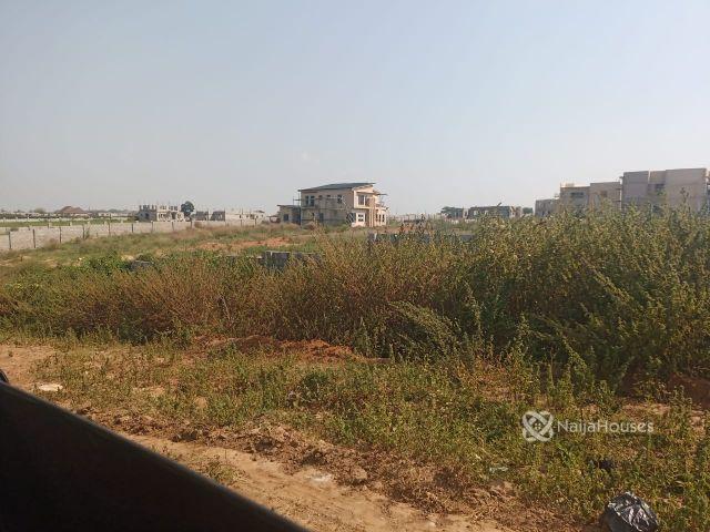
Demystifying Land Sizes
Posted on 28/08/2023 2:57 PM | by NaijaHouses

By Blessing Clement
How Land Sizes are Measured in Nigeria
Land, a precious and finite resource, has played a significant role in shaping the history, culture, and economic development of nations. In Nigeria, a country known for its diverse landscapes and vibrant cultures, understanding how land sizes are measured is crucial for various purposes, ranging from real estate transactions to urban planning. Let's delve into the fascinating world of land measurement in Nigeria and explore the methods used to determine the extent of this valuable asset.
Historical Context
Before delving into the specifics of land measurement in Nigeria, it's important to recognize the historical influences that have shaped these methods. Nigeria, with its rich history of indigenous communities, colonial rule, and modernization, has experienced a blend of local, customary, and metric systems for measuring land.
Traditional Units
Traditional land measurement units in Nigeria are often rooted in the local cultures and languages of various ethnic groups. These units vary widely across the country and include terms like "acre," "plot," "hectare," and "are." Here's a breakdown of some commonly used traditional units:
1. Acre: The acre is a unit of area commonly used around the world, including Nigeria. One acre is equivalent to approximately 4,047 square meters. However, the size of an acre in Nigeria can vary depending on the region.
2. Plot: A "plot" is a common term used in Nigeria to describe a portion of land. However, the size of a plot is not standardized and can differ between regions and even within cities. It's important to note that a plot size in urban areas might differ from that in rural areas.
Formal Measurement
While traditional units remain in use, Nigeria has also embraced formal measurement systems, especially in legal and administrative contexts. The Metric System, which is used worldwide for its uniformity and ease of conversion, has been adopted for land measurement in Nigeria. The key metric units used include:
1. Hectare: The hectare is a metric unit of area that is widely used in Nigeria for large land measurements. One hectare is equivalent to 10,000 square meters or approximately 2.471 acres.
2. Are: The are is another metric unit used in Nigeria, although less commonly than the hectare. One are is equal to 100 square meters.
3. Square Meter: The square meter is the base unit of area in the Metric System and is used for precise measurements in various contexts, including land measurement.
Survey and Documentation
Accurate land measurement is crucial for land ownership, property transactions, and urban planning. To ensure accuracy, land is surveyed by trained professionals using modern surveying equipment and techniques. These surveys result in cadastral maps and land documents that provide detailed information about the land's boundaries, size, and ownership.
In Nigeria, the Federal Surveyor General's Office, state survey departments, and private surveying firms play significant roles in conducting land surveys and producing official land documents.
Read also:
RURAL HOUSING AND DEVELOPMENT

Residence Type: Living In A Gated Community Or An Estate?

HOW TO CHOOSE THE PERFECT NEIGHBORHOOD FOR YOUR FAMILY
Challenges and Modernization
While Nigeria has made strides in adopting formal measurement systems and modern surveying techniques, challenges remain. Inconsistent enforcement of land measurement standards, lack of standardized plot sizes, and land disputes are issues that continue to affect the accuracy and efficiency of land measurement practices.
Efforts are being made to address these challenges through technology and policy reforms. Geographic Information Systems (GIS) and digital mapping technologies are being integrated to improve land administration and reduce disputes. Additionally, some states in Nigeria have implemented regulations to standardize plot sizes and streamline land measurement processes.
Land sizes and their measurement hold great significance in Nigeria's social, economic, and legal fabric. Traditional units rooted in local cultures coexist with formal metric units, reflecting the country's diverse heritage. As Nigeria continues to develop and modernize, the adoption of accurate land measurement practices, improved surveying techniques, and the integration of technology will play pivotal roles in ensuring efficient land administration and minimizing disputes. Understanding these measurement methods is not only essential for professionals in real estate and urban planning but also for anyone interested in the country's dynamic relationship with its land.
